
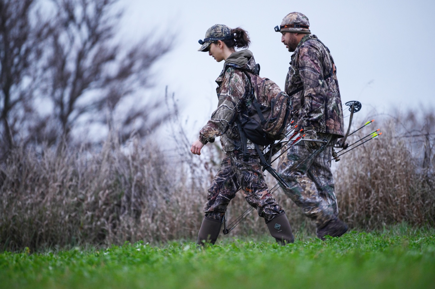
Navarino Wildlife Area is part of the Lower Wolf River Bottomlands Natural Resources Area and can be found in southern Shawano and northeast Waupaca counties. The property includes more than 15,000 acres of state-owned land and the largest parcel within the Lower Wolf River Bottomlands Natural Resources Area.
The wildlife area is comprised of sandy uplands and ridges with marshy depressions. Habitat types include open fields, swamp conifer, lowland scrub, bog, bottomland hardwoods, pine plantations, and an aspen and oak forest. The West Branch of the Shioc River and the Wolf River run through the property.
Navarino Wildlife Area is seven miles south of Shawano. Ample parking opportunities are located throughout the property on the following roads: McDonald, South Townline, Lessor-Navarino, Birch and state Highway 156, County Road K, Two Creek, Wildlife and Swamp Road.
There are two improved boat launches on the property (River Road and Highway 156), three designated carry-in sites (Zeuske Road, Steucks Road and Highway 156) and several other undeveloped access points to the Wolf River, Shioc River, tributaries and flowages.
The nature center maintains hiking, snowshoe and groomed ski trails along with picnic areas, restrooms, a parking lot, a shelter and a cabin to accommodate program participants.
Navarino Wildlife Area is managed to provide opportunities for public hunting, trapping, fishing and other outdoor recreation while protecting the qualities of the unique native communities and associated species found on the property.
The large acreage contains significant occurrences of several natural communities, including floodplain forest, sedge meadow, emergent marsh and dry-mesic forest.
Management includes the maintenance of continuous, extensive floodplain communities and a hydrologic connection between the river and off-channel aquatic habitats. Flowage management, with periodic drawdowns, is used to maintain and improve the emergent marsh and open-water wetland types.
Bottomland hardwoods are maintained by favoring silver maple and swamp white oak while retaining other native trees and understory species. The aspen cover type is maintained through coppice cutting at rotation age to regenerate the type. Quality red oak sites are managed through shelterwood harvests that are timed to coincide with good acorn crops.
Grassland and shrub-carr wetlands are maintained and improved through mowing and prescribed fire. Sedge meadow is maintained or restored where feasible.
Farming agreements are used to maintain a mosaic of agricultural land. Populations of invasive species are controlled or eliminated by cutting, pulling, burning, herbicide treatment and biocontrol.


